
Soon, People Can Check Status Of Land Digitally: Aman Arora

Chandigarh: In yet another citizen-centric move, Punjab Housing and Urban Development (H&UD) department is all set to digitise the Khasra based Masteplans, which will enable common man to easily identify the status and nature of the land, besides, check the zoning of the land.
Punjab Housing and Urban Development Minister Mr. Aman Arora directed the department officials to tie-up with Punjab Remote Sensing Centre (PRSC) team to further speed up this project to provide all the information pertaining to land on a click.
While reviewing the status of the project with PRSC team, Mr. Aman Arora said that with the implementation of the project, people will be able to identify their land online, besides, getting the information about the zoning plan of the area where the land falls. The initiative will also be helpful for people in applying Change of Land Use (CLU), besides, stirring the investments by enhancing transparency in the record maintenance mechanism, he said.
Under the leadership of Chief Minister S. Bhagwant Mann, Punjab Government’s H&UD department has undertaken several corrective measures to provide the services to people at their doorsteps in a transparent manner.
The H&UD Minister was apprised that a total 43 masterplans have already been notified. Out of the 43, work on khasra based digitization has been initiated for 22 masterplans. Under this project, masterplans are being superimposed on the cadastral map.
Mr. Aman Arora asked the PRSC team and the department officials to ensure that accuracy should be maintained by using the state-of-the-art latest technologies in the project.
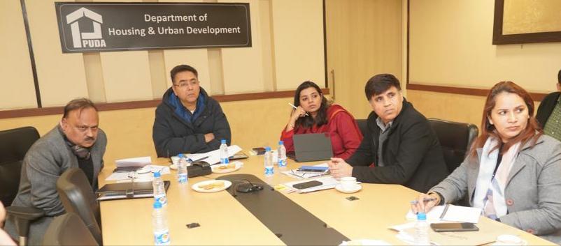
Principal Secretary Housing and Urban Development Mr Ajoy Kumar Sinha, Chief Administrator PUDA Ms Apneet Riyait, Chief Town Planner Punjab Mr Pankaj Bawa, Director PRSC Dr. Brijendra Pateriya and other officials were also present in the meeting.